OVERVIEW
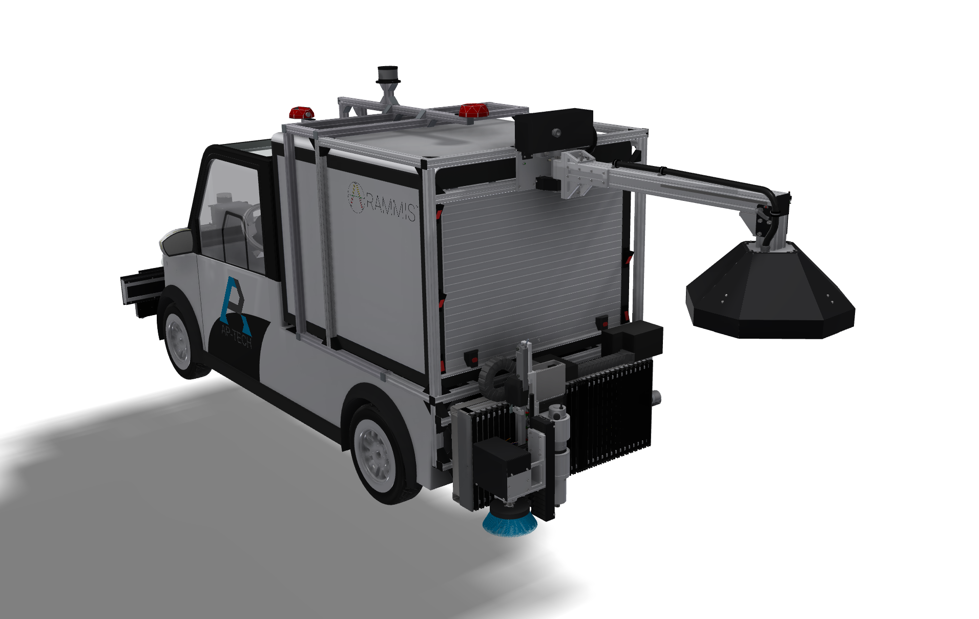
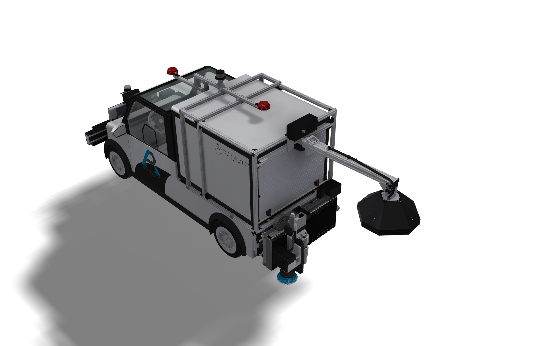
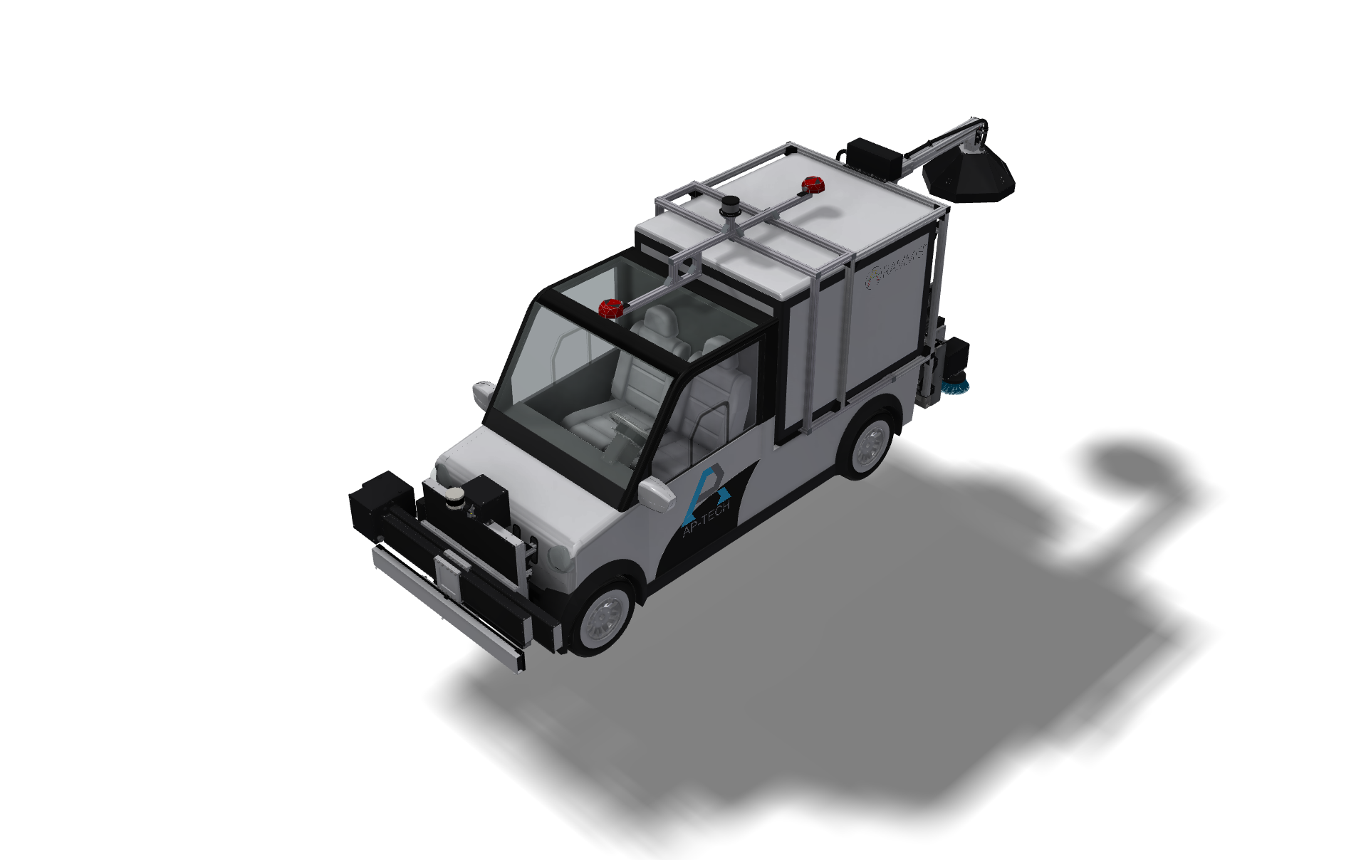
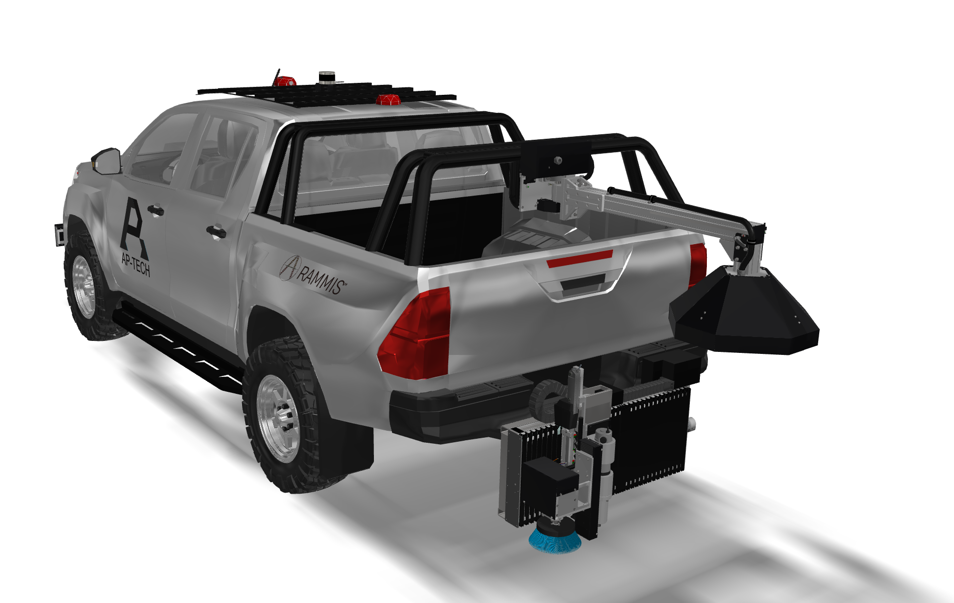
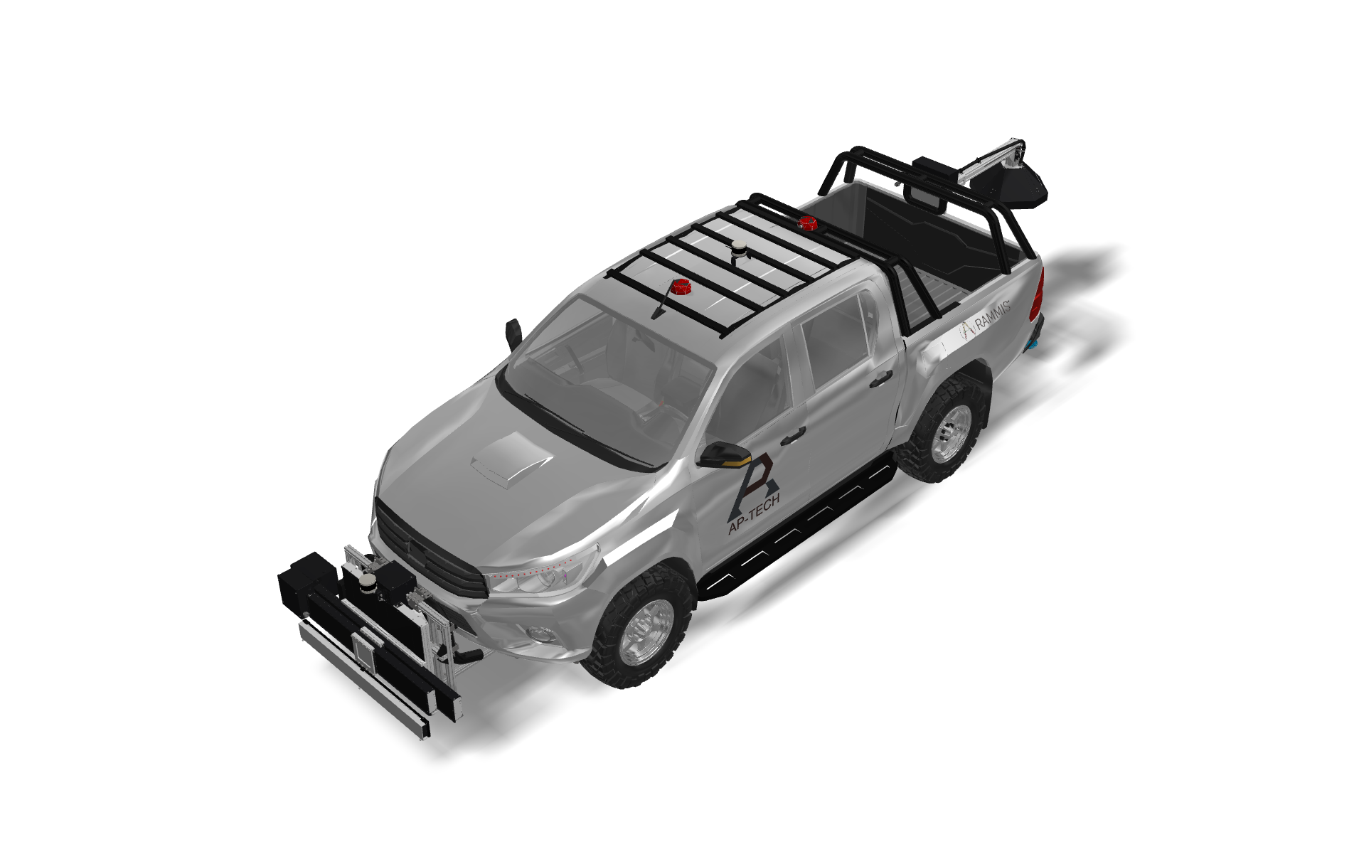
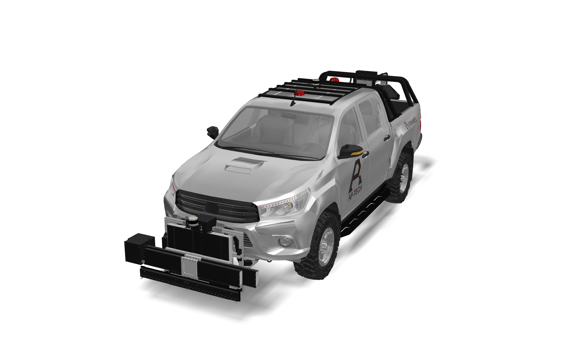
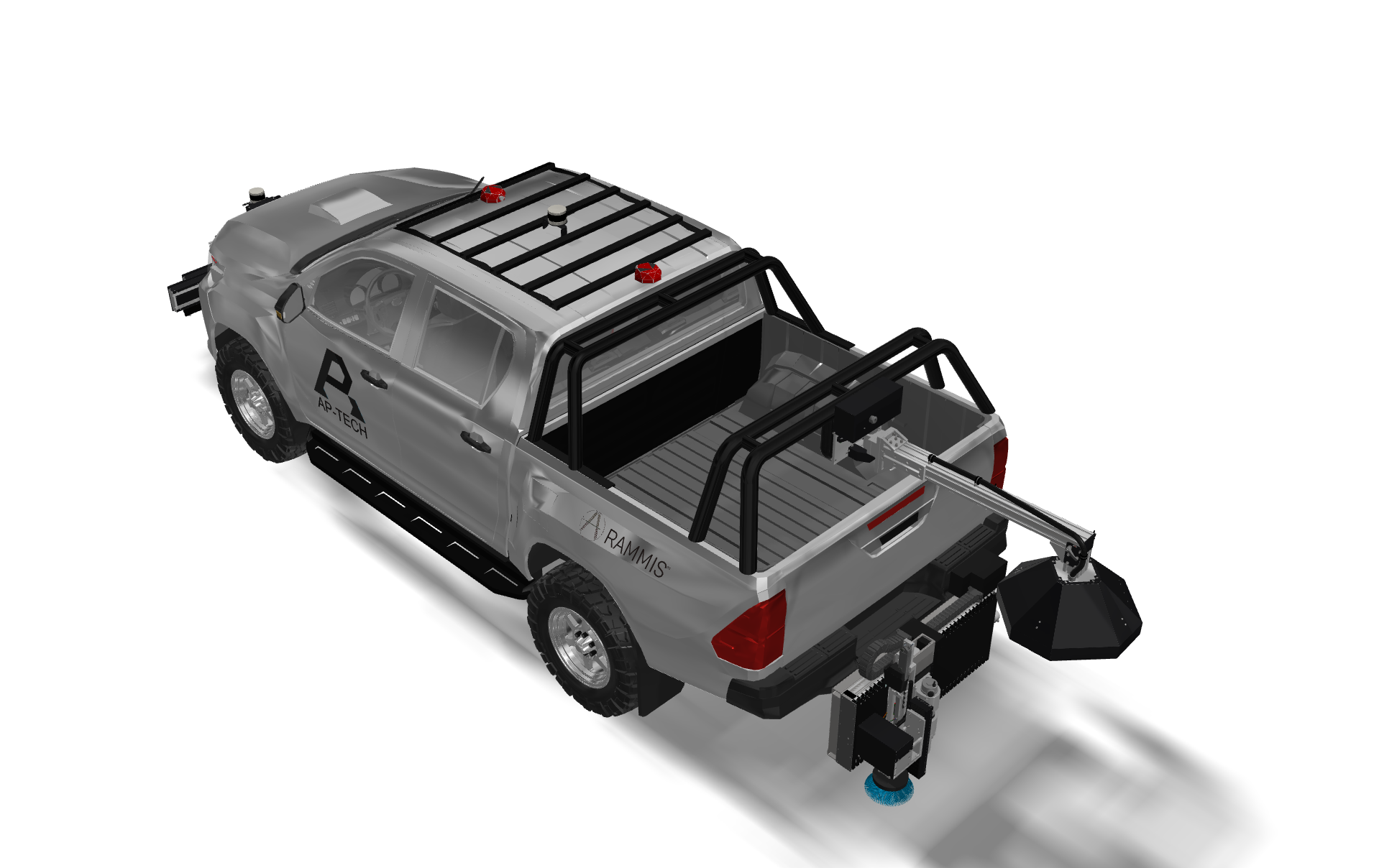
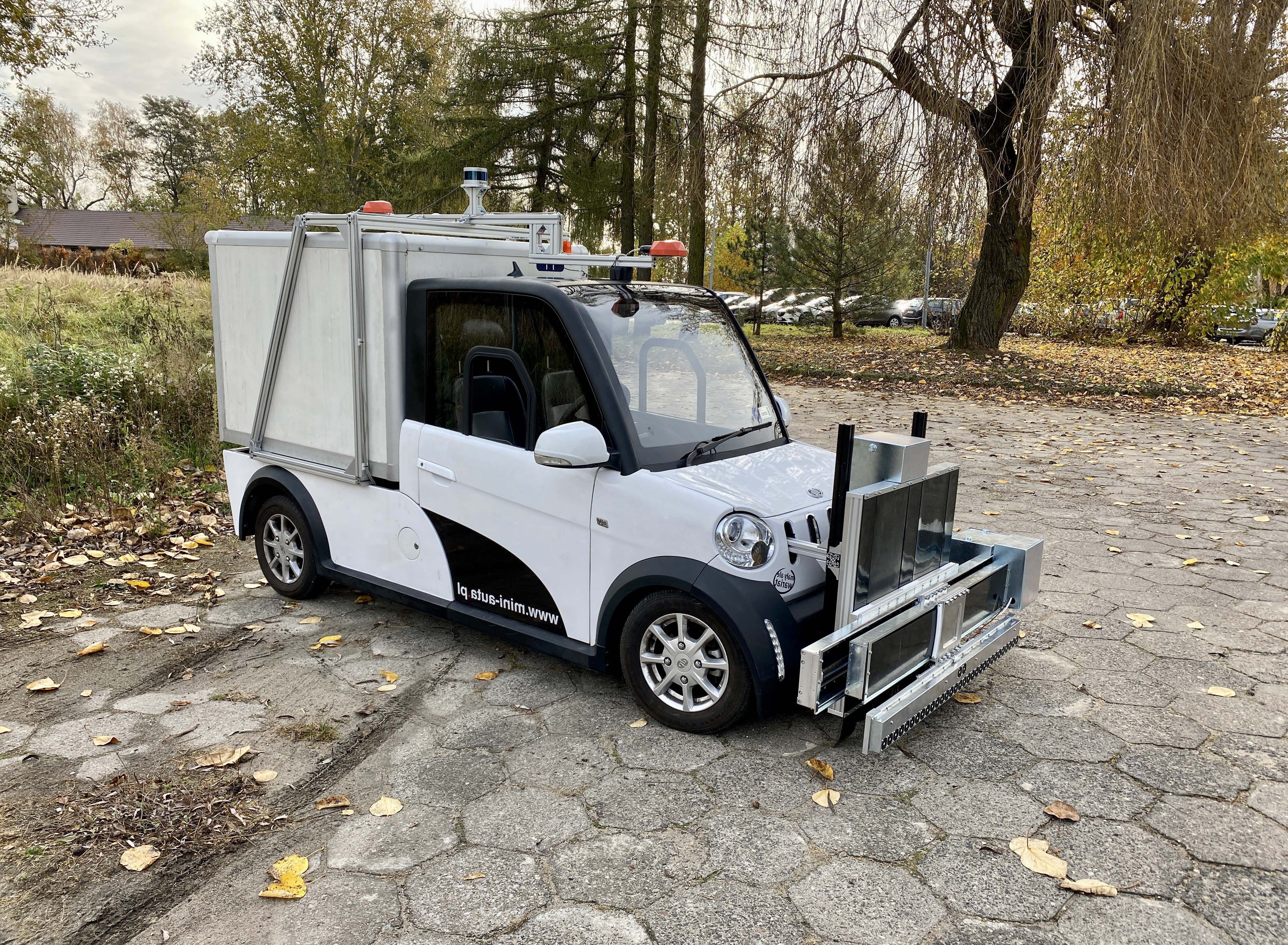
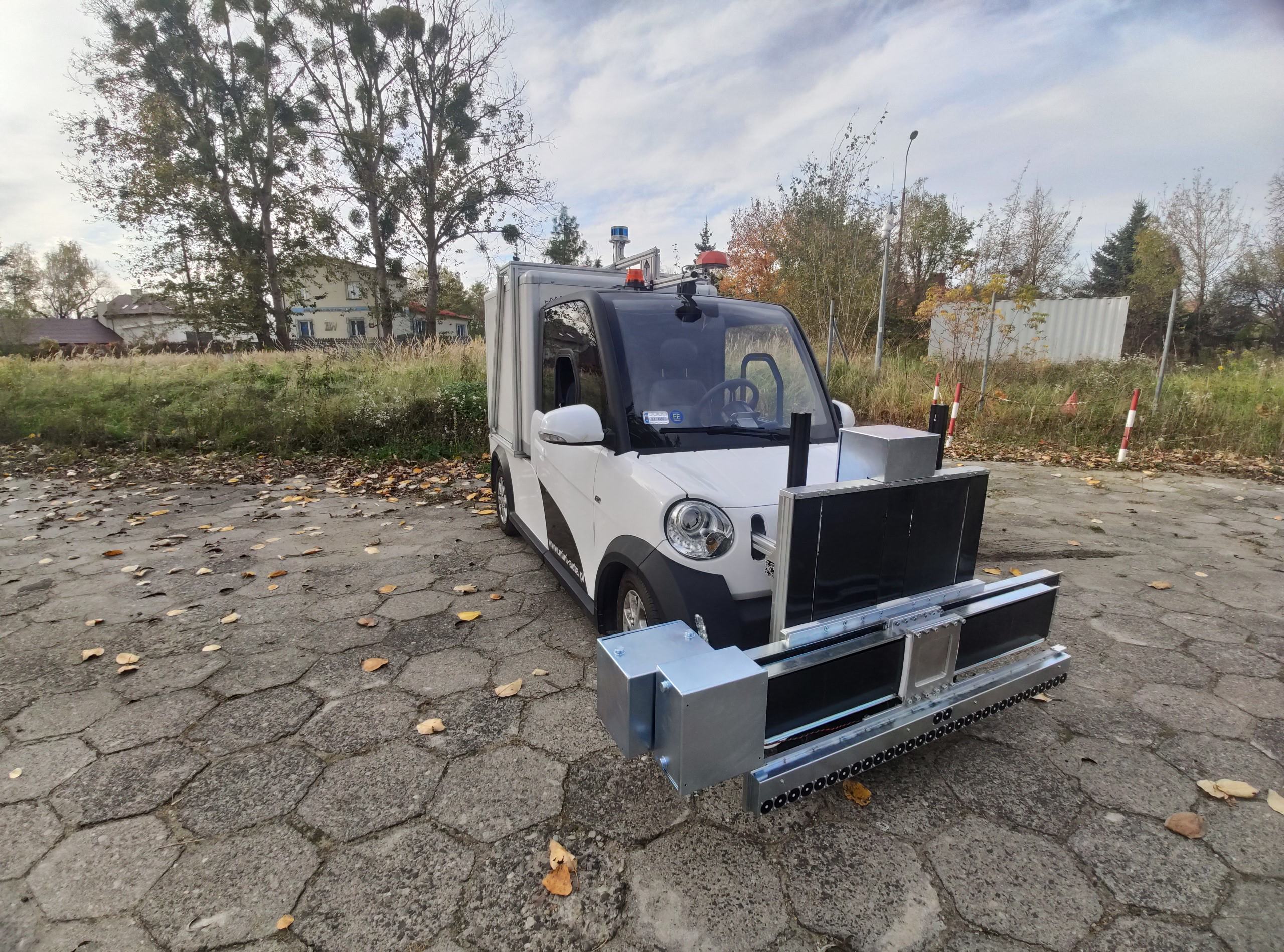
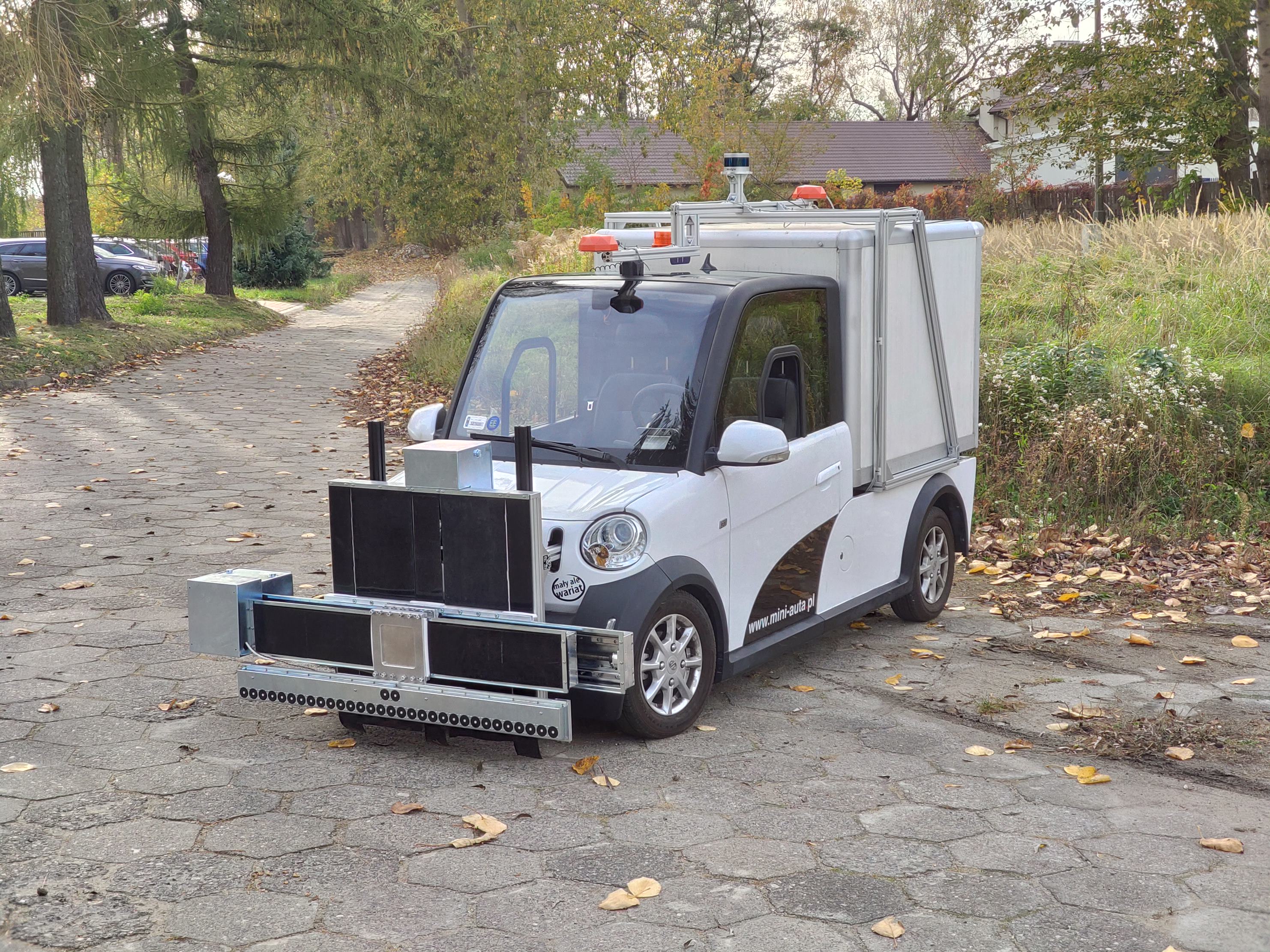
ARAMMIS™, as the acronym states, is an innovative automated mobile system for preventive maintenance of airfield infrastructure in the form of a mobile vehicle. The system will enable autonomous AGL parameters measurements and life cycle management in order to allow round-the-clock compliance with international and local standards.
ARAMMIS™ is a system that can move autonomously on airfields, measure parameters of AGL installations and perform infrastructure inspection. It gives information on AGL performance and maintenance requirements.
ARAMMIS™ is the system of the future that can supersede standard measurement techniques in quality, repeatability, reliability, and effectivity.
ARAMMIS™ can operate as a stand-alone system for generating reports and is fully compliant with ATOS™ preventive maintenance modules.
KEY FEATURES OF THE ROBOTIC MODULE
- Automatic / autonomous measurement
- Maintenance information
- Measurement of all types of AGL
- Screw torque measurement and tightening
- Easy implementation
- Compliance with ICAO standards
- Prevention instead of reaction
- Current status
ATOS™ for ARAMMIS
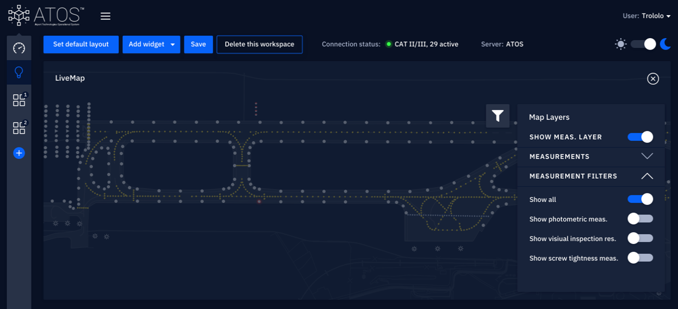
MAP LAYERS
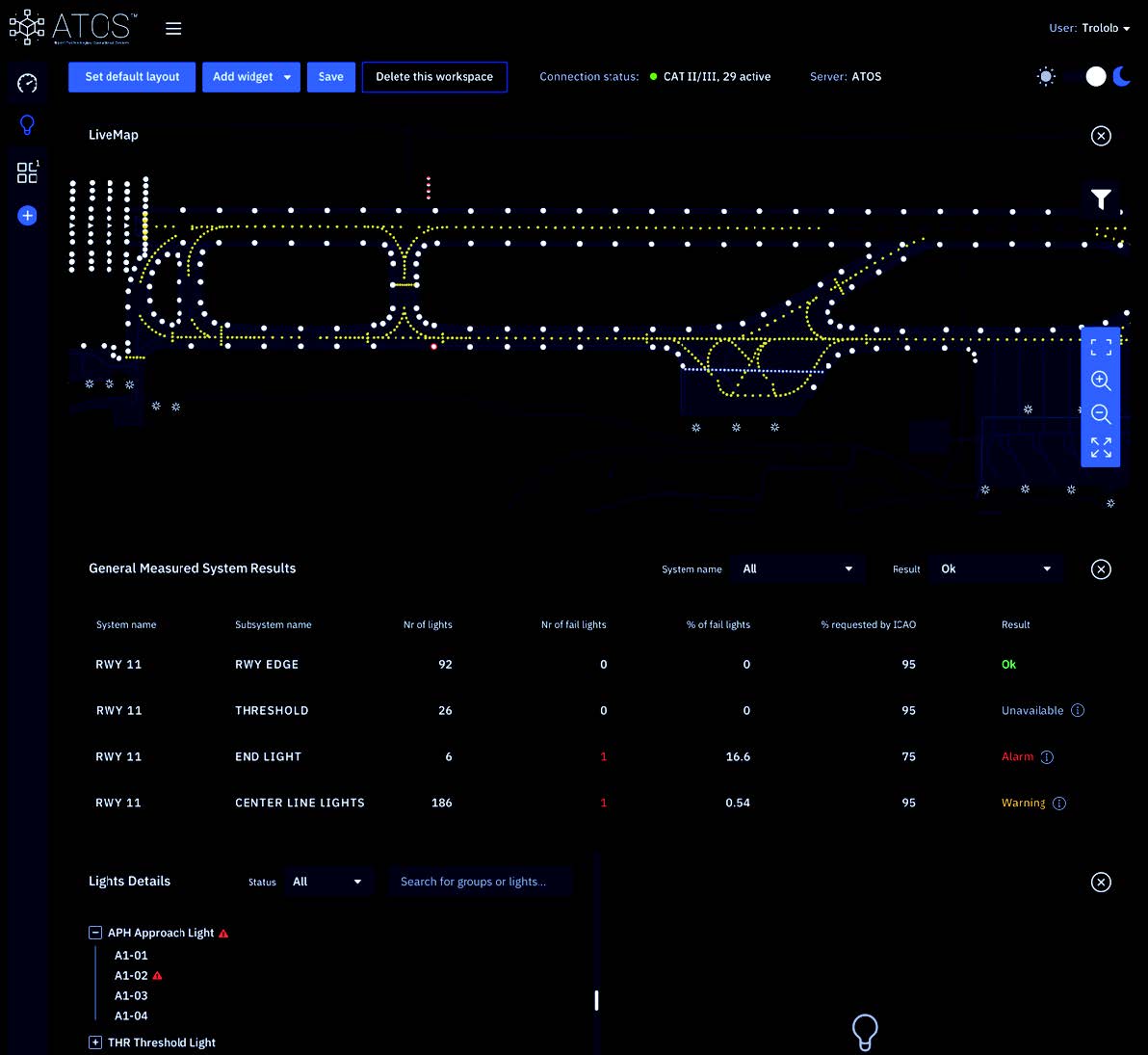
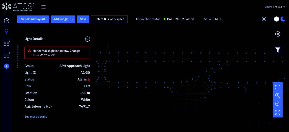
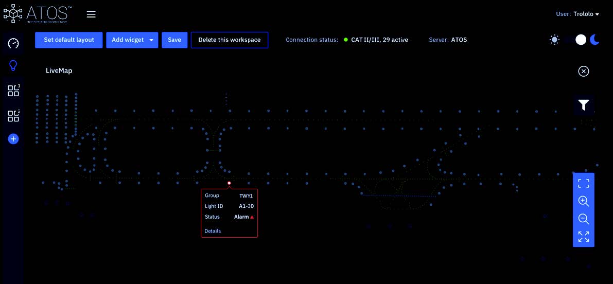
The map allow to see all measured parts of the system e.g. all AGL with placement and details. The map can be filtered to show all information, statuses or warnings and alerts. Any kind of information that triggers a warning or alert can also be shown on the main map screen, along with details and recommendations.
AUTOMATED PREVENTIVE MAINTENANCE FOR AIRPORT INFRASTRUCTURE
Airport Implementation
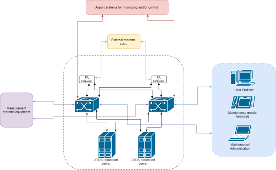
ATOS™ is designed to handle redundant operation and redundant connection to any airport system available.
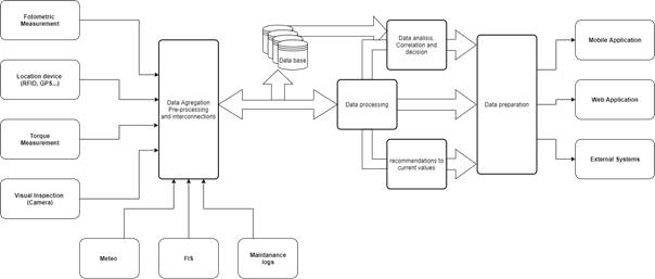
ATOS™ maintenance system implements:
- Input measurement interfaces – interfaces to the equipment from automated or manual measurements:
- Photometric,
- Identification – RFID, GPS correlation,
- Screw torque,
- Visual inspection (Camera),
- GRF and runway inspection;
- Airport systems interfaces – interfaces to various systems available on the airport;
- Data pre-processing – gathering of data from the interfaces and preparing for analysis and acquisition;
- Data bases – for measurement and data acquisition;
- Data processing:
- The current data is then processed for displaying the current state of infrastructure;
- Based on current measurements and measurement cycles, maintenance information and recommendations are prepared;
- Based on historical measurement and other data, correlations are formed to establish best possible predictive maintenance.
- Available data can be accessed/viewed via:
- Web application that consolidated all information into one intuitive interface along with additional features like:
- time-slot finding and planning for maintenance,
- historical measurements,
- report generation,
- maintenance procedures
- …
- Mobile application that adds to the web app feature navigation options esp. to places of interest and maintenance hot-spots;
- Interfaces to external systems.
- Web application that consolidated all information into one intuitive interface along with additional features like:
Web App View
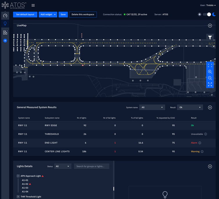
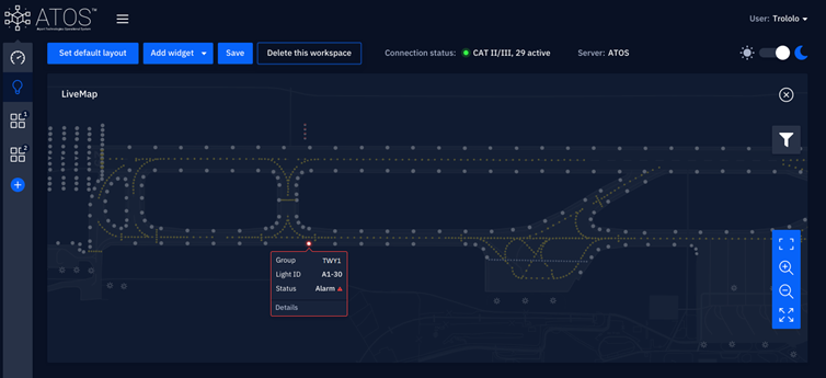
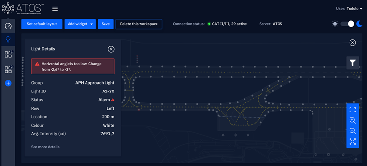
The web application allows for custom and flexible widget and map layers display according to the needed requirements and preferences. Day/night color schemes, widget placement, size and location can be edited by user. Any detected incident is shown on map and detailed views can be directly shown.
Map Layers
The map allow to see all measured parts of the system e.g. all AGL with placement and details. The map can be filtered to show all information, statuses or warnings and alerts.
Any kind of information that triggers a warning or alert can also be shown on the main map screen, along with details and recommendations.
Map layers customisation
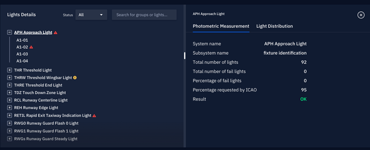
General AGL Summary
Gives a quick overview of all AGL groups and their status, along with explanation of warnings and alarms.
AGL inspection and measurement
A list of all AGL groups, individual lights and statuses.
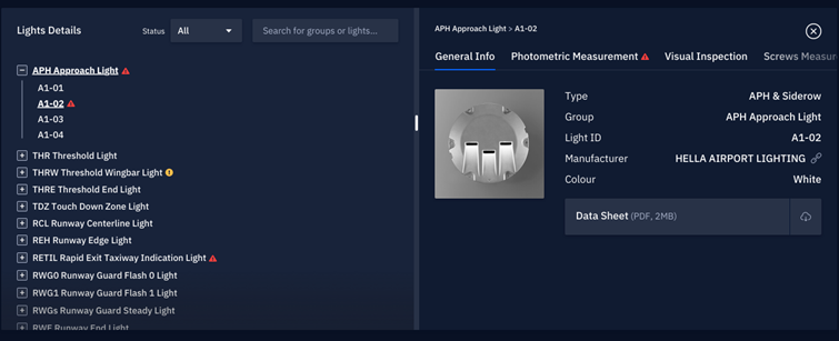
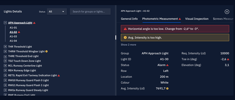
Detailed Views Widgets
For each light we can find:
- General info;
- Data sheets, files, manuals and other required documentation;
- A visual inspection (most recent photographs in both on and off states);
- Light distribution (isocandela diagrams);
- Photometric measurement summary;
- Torque measurements;
- Recommendations;
- Any other used measurement equipment results.
Research and Development
In order to continuously improve the quality of our services and products, we cooperate with leading research facilities and leading industry experts. We have a professional and experienced engineering staff thanks to which we create advanced and reliable hi-tech solutions.
ABOUT US
AP-Tech builds and provides dedicated technological solutions in the field of design and construction of software and devices. Our team of experienced engineers has completed many projects in the field of software, electronic systems, automation, robotics and mechanical structures.
CONTACT
Interested in cooperation with us?
Leave us a message and we will contact you.


